Spectra offers aerial LIDAR scanning services using PPK/RTK UAVs mounted/integrated with integrated LIDAR and high resolution RGB cameras.
Our geospatial data processing centre is equipped with state-of-the-art hardware and LIDAR/photogrammetric data analysis software to provide our clients high precision outputs -:


Advantages of Aerial Lidar Scanning:
High precision digital elevation models
Can be performed in difficult terrains in any season
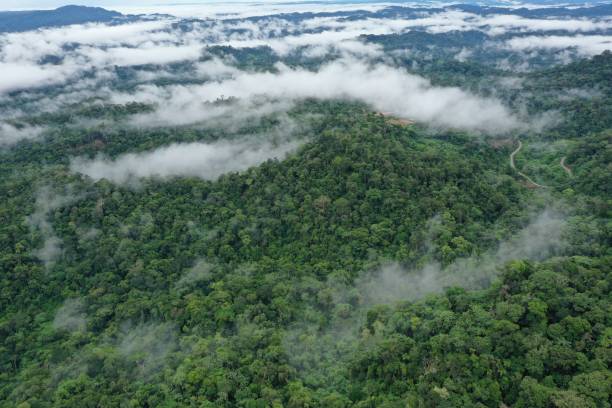
Builds dense point clouds even for the dense forests, allowing depicting of terrains precisely
Achieves high productivity at low price
Applications
Mapping
Airborne laser scanning materials are actively utilized to build digital elevation models and then contour lines for mapping on a scale of 1:500 to 1:10 000. This is particularly important in places with a lot of trees and shrubs.Airborne laser scanning materials are actively utilized to build digital elevation models and then contour lines for mapping on a scale of 1:500 to 1:10 000. This is particularly important in places with a lot of trees and shrubs.
Engineering Surveys
Aerial photography combined with ALS offers a novel perspective on the survey procedure. Increased productivity when compared to traditional geodetic work enables cost reduction, even for remote and under-explored areas.
Energy industry
Frequent monitoring of energy infrastructure assets enables the collection of comprehensive geographical data for evaluating the condition of the tree and shrub vegetation in the protected zone and reconstructing the position of wires.
Road & railways certifications
When creating pre-project and design documentation for the building, repair, and diagnostics of roads and railroads, the usage of ALS is expanding significantly. The cost and labor time are decreased, and the efficiency of acquiring spatial data is increased. Roads and railroads can have their operational efficiency increased by using the data to build digital models of them.
Data creation for GIS & CAD
One of the primary sources of geodata is ALS data. They can be integrated with other sources and utilized for automated analysis, computations, and measurements. For instance, you can work with polygonal object models for BIM technologies and utilize generated data from ALS.
Designing complex engineering buildings
It is feasible to survey the entire region as well as specific areas or high-rise items that are impossible to shoot from the ground while developing complicated objects or industrial zones. For instance, the findings of ground-based laser scanning can be merged with the acquired data to produce more accurate and comprehensive data.
Urban Development
Constructing intricate models of cities and cultural heritage items in order to continue planning and designing urban amenities in three dimensions.
Forest inventory
When conducting a forest inventory, ALS data are used to measure tree heights and establish criteria for the species composition of trees in the categorization. It is used to monitor forest lands effectively when paired with aerial photography.
Mining
One of the places to find accurate and current information about the surface of a mine, quarry, or section. Control over the extent of excavation, production volume calculations, overburden removal volume accounting, loss calculations, and side and dump stability monitoring.