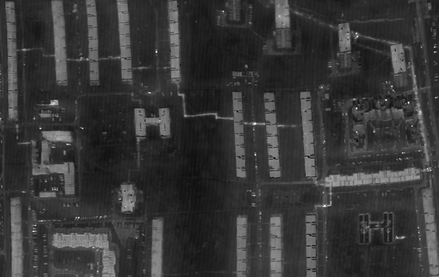
Spectra offers aerial photogrammetry services using PPK/RTK UAVs mounted/integrated with high resolution cameras.
Our geospatial data processing centre is equipped with state-of-the-art hardware and photogrammetric data analysis software to provide our clients high precision outputs -:


Application
UAV Mapping survey for acquiring quality precision spatial data; building ORI, DEM & 3D models and creating maps & plans for cadastral accounting

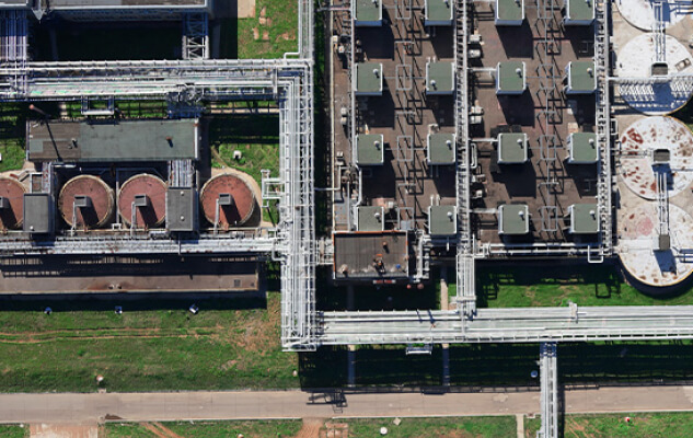
Regular monitoring of energy infrastructure facilities (Power Transmission Lines, Power Stations, etc.) enables on time detection of defects of insulation and corrosion thus avoiding emergency situations. Products of UAV data processing viz. orthophotos, digital surface models and high resolution photos help in making topographic & thematic maps and define power tower locations with surrounding forestry or trees dangerous to the wires, reconstruction of wire positions and new PTLs and erecting the facilities with suitable approach roads.
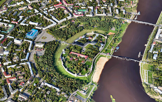
Constructing intricate models of cities and cultural heritage sites, spotting cadastre violations and real land use borders, and creating structures and urban amenities in three dimensions. High spatial resolution allow keeping effective accounting of small objects such as advertising structures.
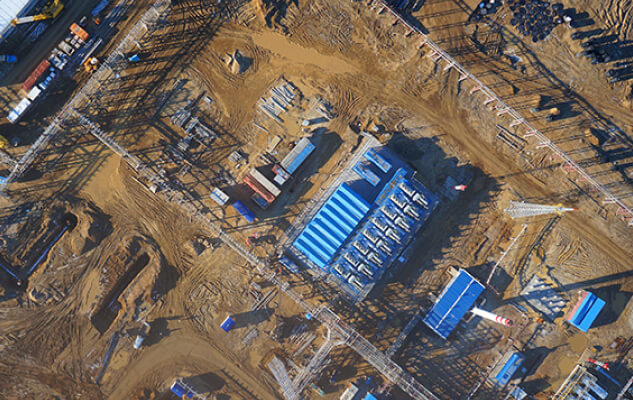
Tracking operational changes and keeping an eye on the construction process, progress and scope of performed earth works, constructing three-dimensional panoramas of built-in real estate items, current and precise information about the geometrical features of structures, construction sites, and associated infrastructure. The UAV surveys enables quality control of the performed works and the geometrical parameters of the erected structures. The results of the engineering – geodetic surveys performed prior to construction are subject to the relevant data of the area provided by the UAV survey products.
Economical forest land monitoring, inventory of forest areas without lengthy detours for inaccessible areas, estimating heights of the trees wood reserves, locating places for drying and falling, and detecting breaches. Accurate spatial data enable development of thematic maps helping in placement of roads, trails and loading sites
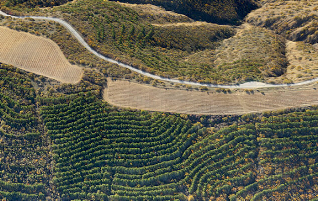
High resolution aerial imageries help assess crop health, soil conditions and drainage system of the farmlands and thus facilitating effective farming. Aerial surveys provide accurate field size which is key to efficient cost management by correctly assessing the cost of seeds, fertilizers, pesticides & fuels and also avoids inaccuracies in yield estimations. The 3D models from the aerial surveys provide accurate crop volume measurements and help insurance assess damage assessments in case of eventuality.
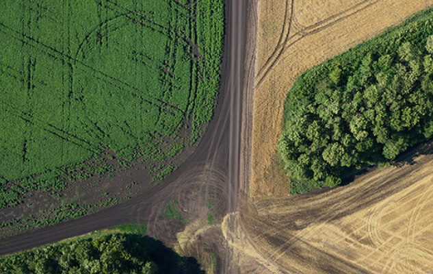
Accurate and current geometry information about a mine, quarry, or section's surface. Control over the extent of excavation, production volume calculations, overburden removal volume accounting, loss calculations, and side and dump steady state monitoring. Manage property and equipment.
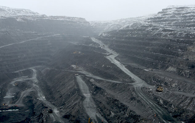
Searching forobjects with high temperature, thermal imaging helps in tracing ignition & smouldering sources, overheated equipment which are invisible on ordinary photos. Thermal imaging detects the mains defects & leaks, insulation violations & corrosion symptoms, at early stage even at heat mains underground sections thus avoiding severe emergency situations and expensive repair works. Helps in locating faulty solar cells and health inspection of dams, cooling towers & chimneys without shutting down operations or exposing people to unnecessary risks.
