Spectra Geosolutions LLP — Unmanned aerial systems for professionals
Aerial Lidar Services
Precision Lidar Solutions
Spectra offers aerial LIDAR scanning services using PPK/RTK UAVs integrated with advanced LIDAR and high-resolution RGB cameras. Our geospatial data processing center utilizes state-of-the-art hardware to deliver high-precision outputs.
Key Advantages
High precision digital elevation models
Performable in difficult terrains & all seasons
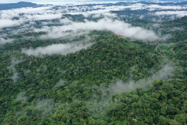
Penetrates dense forests for precise terrain
Achieves high productivity at a low price
Industry Applications
Transforming industries with precise Lidar data and 3D modeling.
Mapping
Building digital elevation models and contour lines for mapping (1:500 to 1:10,000). Crucial for heavily vegetated or shrubby terrain.
Engineering Surveys
A novel perspective on survey procedures. Offers cost reduction and increased productivity compared to traditional geodetic work, especially in remote areas.
Energy Industry
Monitoring energy infrastructure to evaluate vegetation conditions in protected zones and reconstruct wire positions with comprehensive geographical data.
Road & Railways
Accelerates pre-project and design documentation. Reduces labor time while increasing spatial data quality for building efficient digital models.
Data for GIS & CAD
Primary source for automated analysis and computations. Integrates seamlessly with polygonal object models for advanced BIM technologies.
Complex Structures
Surveying entire regions or high-rise structures impossible to capture from the ground. Merges with ground-based scanning for complete datasets.
Urban Development
Constructing intricate 3D models of cities and cultural heritage sites to aid in the planning and design of modern urban amenities.
Forest Inventory
Measuring tree heights and categorizing species composition. Effectively monitors forest lands when paired with high-res aerial photography.
Mining
Providing accurate surface data for mines and quarries. Controls excavation, calculates volumes, and monitors dump stability for safety.