Spectra Geosolutions LLP — Unmanned aerial systems for professionals

Shallow Geophysical Services

Applications: Civil Engineering & Engineering Geology

Shallow Geophysical methods provide accurate data about the structure of the subsurface, offering valuable insights for civil engineering projects.

Engineering geophysics focuses on the resolution, detailing, and quantification of specific subsurface conditions. Our goal is to provide precise information regarding the location and distribution of weak or poor materials that could be detrimental to foundations, tunnel excavations, road alignments, or open-pit mining operations. By identifying these risks early, we help ensure the structural integrity and safety of engineering endeavors.
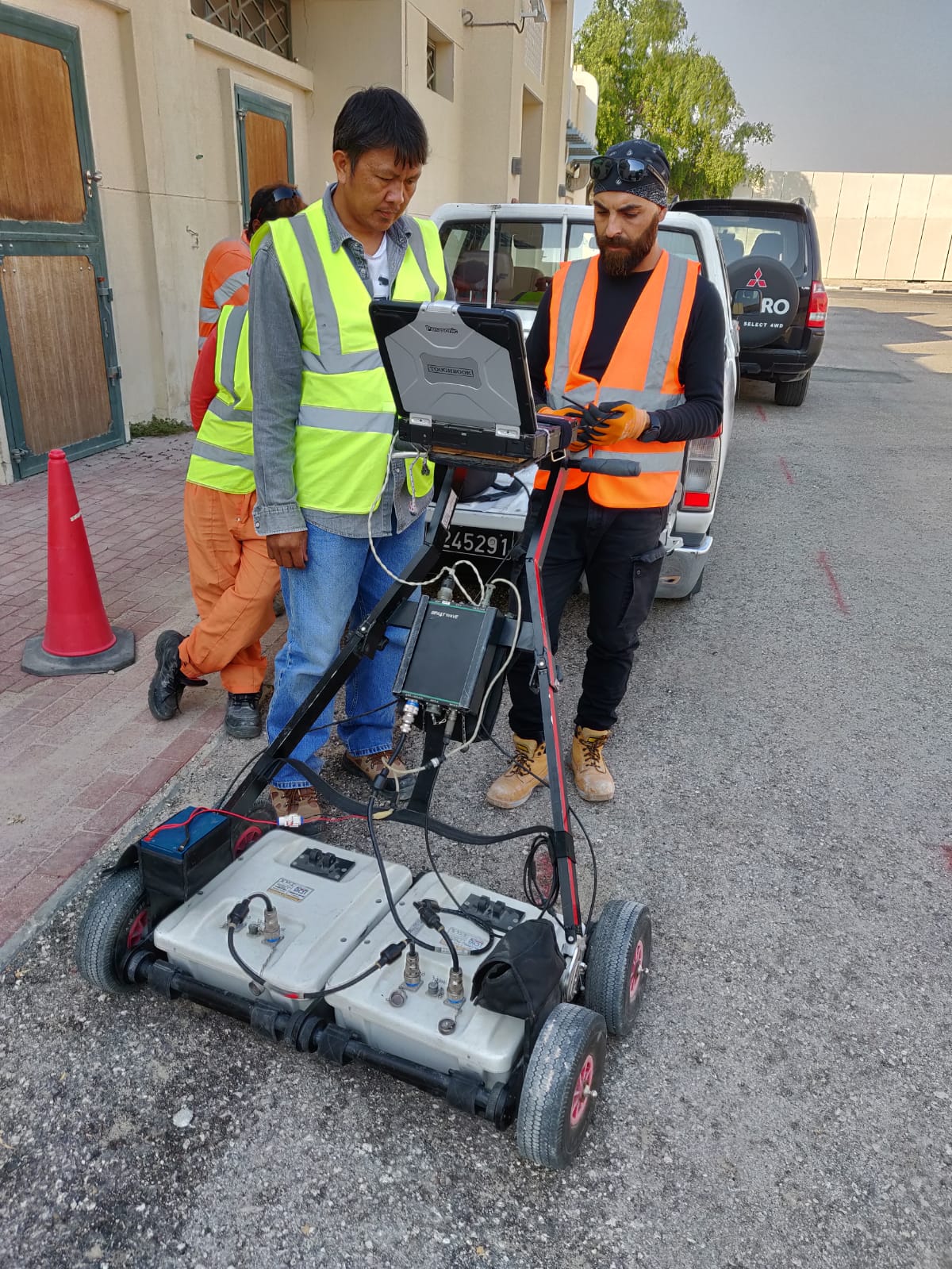
Geophysical Survey Equipment

Shallow Geophysical Techniques

Specialized techniques utilized for diverse civil engineering purposes:

Investigation for Cavity & Weak Zones

  • Multichannel Analysis of Surface Wave (MASW)
  • Frequency Domain Electromagnetic (FDEM)
  • Ground Penetrating Radar (GPR)
  • Electrical Resistivity Tomography (ERT)

Utility Detection

  • Radio Detection
  • Ground Penetrating Radar (GPR)
  • Magnetic Survey

Overburden Estimation

  • Seismic Refraction Tomography (SRT)
  • Electrical Resistivity Tomography (ERT)

Shallow Stratigraphy

  • Refraction Microtremor (ReMi)
  • Seismic Refraction Tomography (SRT)
  • Electrical Resistivity Tomography (ERT)
  • Time Domain Electromagnetic (TDEM)

Slope Stability

  • Seismic Refraction Tomography (SRT)
  • Electrical Resistivity Tomography (ERT)

Engineering Parameter Assessment

  • Seismic Downhole Profiling
  • Crosshole Seismic Profiling