Spectra Geosolutions LLP — Advanced Aerial Thermography
Aerial Thermal Imaging
Precision Thermal Analysis
Spectra offers aerial thermal imaging and photogrammetry services using PPK/RTK UAVs integrated with high-resolution thermal and RGB cameras. We create accurate 3D models superimposed with thermal data for detailed heat signature analysis, detecting defects, leaks, and overheating invisible to the naked eye.
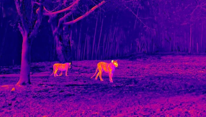
Our solutions allow operations even under reduced visibility or in the dark, ensuring safety and efficiency for critical infrastructure inspections.
Applications & Benefits
Detecting anomalies and ensuring infrastructure health with non-invasive aerial inspections.
Solar Energy
Locating faulty solar cells and panels efficiently. Thermal imaging quickly identifies underperforming units across vast solar farms.
Critical Infrastructure
Health inspection of dykes, dams, cooling towers, and chimneys without shutting down operations or exposing personnel to risks.
Wind Power
Assessment of wind power generators, detecting internal mechanical friction or electrical issues through heat signatures.
Heating Networks
Monitoring heating networks on the surface or underground. Detects leaks and insulation violations at an early stage.
Building Efficiency
Evaluating thermal efficiency of buildings, identifying heat loss areas, moisture intrusion, and insulation gaps.
Subsurface Detection
Tracing ignition sources and defects in underground heat mains, preventing severe emergency situations and costly repairs.