Spectra Geosolutions LLP — Unmanned aerial systems for professionals
Aerial Survey & 3D Mapping Services
Precision Photogrammetry Services
Spectra offers aerial photogrammetry services using PPK/RTK UAVs integrated with high-resolution cameras. Our geospatial data processing center is equipped with state-of-the-art hardware and analysis software to provide our clients with accurate, actionable insights.
Ortho-Rectified Images
Dense Point Clouds
Digital Elevation Models (DEM)
3D Territory Models
Industry Applications
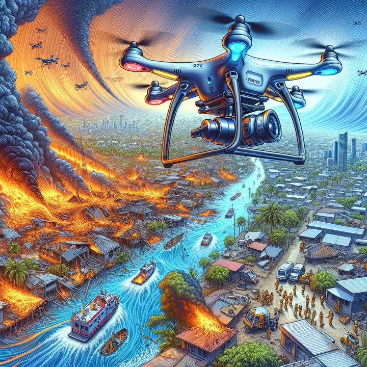
Discover how our aerial survey solutions transform operations across various sectors.
 Mapping
 Energy Industry
 Urban Development
 Construction
 Forestry Management
 Agriculture
 Mining
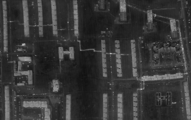
 Thermal Imaging
Mapping
UAV Mapping survey for acquiring quality precision spatial data; building ORI, DEM & 3D models and creating maps & plans for cadastral accounting.

Energy Industry
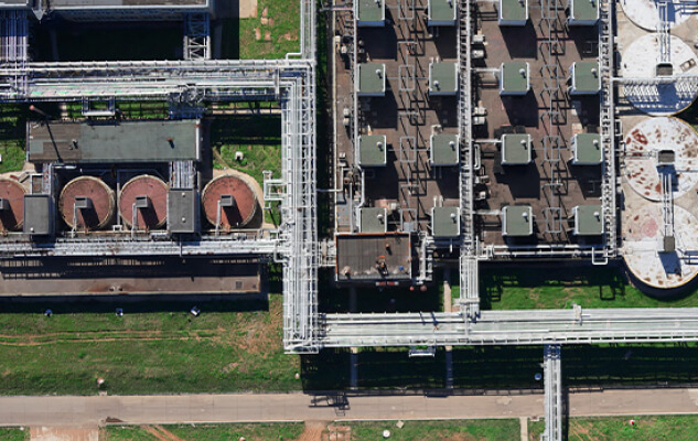
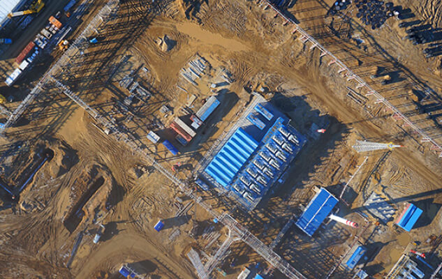
Regular monitoring of energy infrastructure facilities (Power Transmission Lines, Power Stations) enables on-time detection of defects like insulation failure and corrosion. Our data products help in making topographic maps, defining tower locations relative to forestry, and planning new infrastructure.
Urban Development
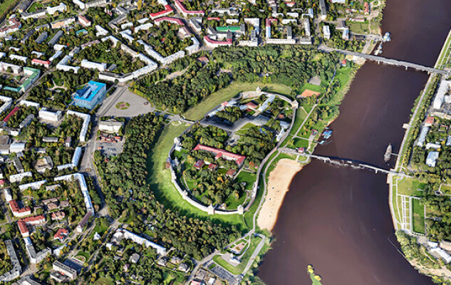
Constructing intricate models of cities and cultural heritage sites, spotting cadastre violations, and planning urban amenities in 3D. High spatial resolution allows for effective accounting of small objects like advertising structures.
Construction
Tracking operational changes and keeping an eye on the construction process. We generate 3D panoramas of real estate, providing precise geometrical data of structures and sites to ensure quality control and adherence to plans.
Forestry Management
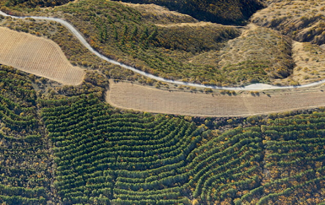
Economical forest monitoring and inventory without lengthy detours. We estimate tree heights, wood reserves, and detect drying or breaches. Accurate maps aid in placing roads and trails efficiently.
Agriculture
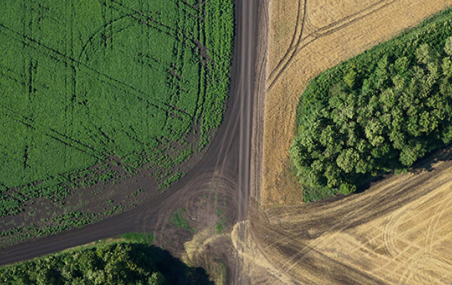
High-resolution imagery assesses crop health, soil conditions, and drainage to facilitate effective farming. Precise field measurements aid cost management for fertilizers and fuels, while 3D models help in yield estimation and insurance damage assessment.
Mining
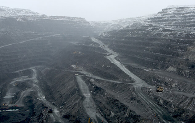
Accurate geometry information for mines and quarries. We provide control over excavation extent, calculate production and overburden volumes, and monitor dump stability for safe and efficient operations.
Thermal Imaging
Detecting high-temperature zones to trace ignition sources or overheated equipment invisible to the naked eye. Essential for spotting pipeline leaks, insulation defects, and inspecting solar cells or chimneys without operational shutdowns.