Spectra Geosolutions LLP
Professional Geophysical & Unmanned Aerial Systems Services
Advanced technology solutions for surveying, mapping, and geophysical analysis. Precision data collection with cutting-edge aerial and ground-based systems.

Leading Geospatial Technology Solutions
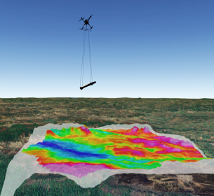
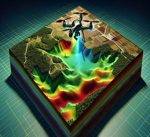
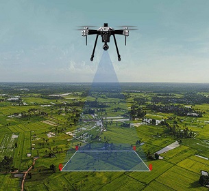
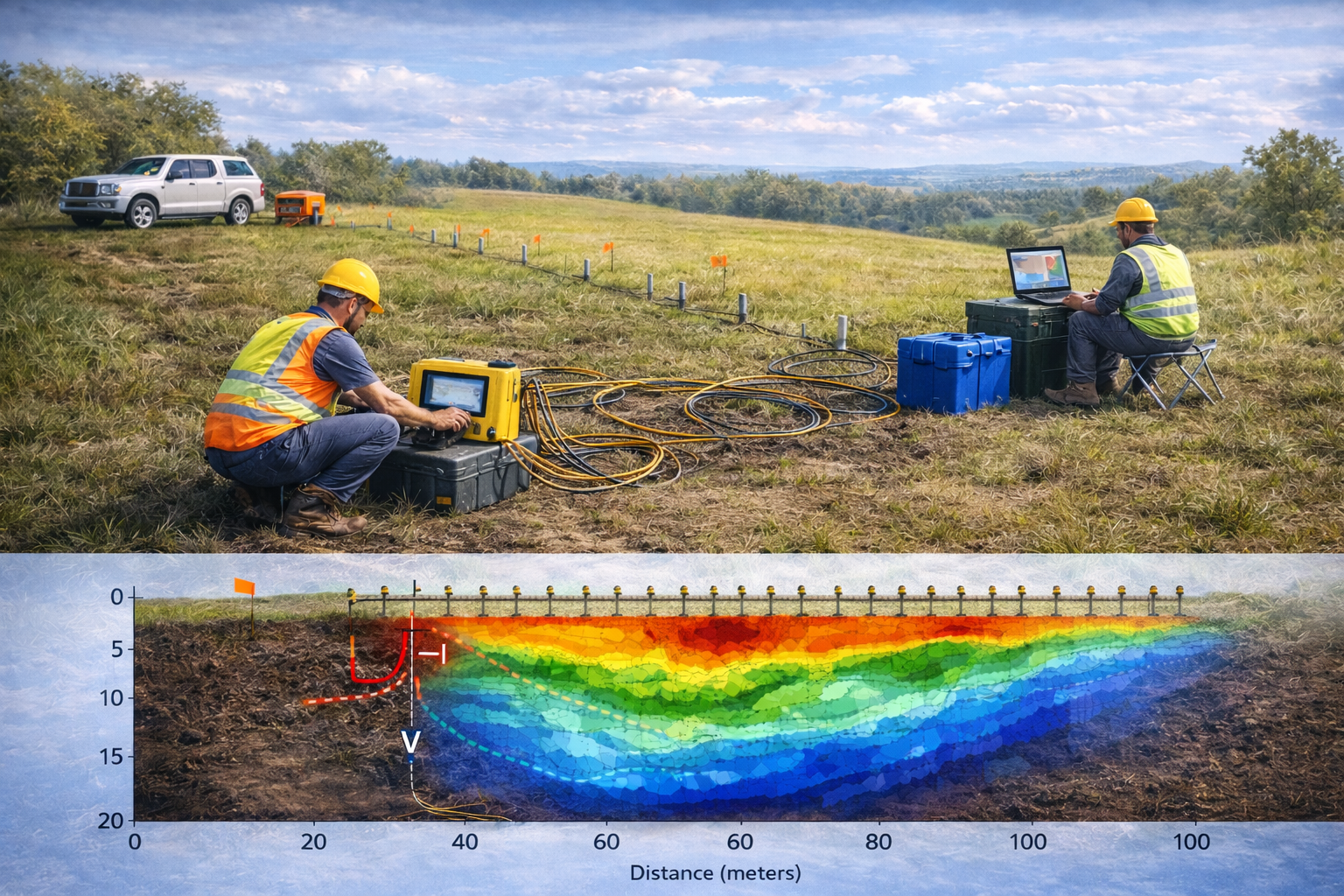
At Spectra Geosolutions, we combine advanced geophysical techniques with cutting-edge unmanned aerial systems to deliver comprehensive data collection and analysis services across multiple industries.
Our expertise spans from shallow subsurface investigations to high-altitude aerial surveys, providing clients with accurate, reliable, and actionable geospatial intelligence.
Accreditations & Compliance
Verified standards ensuring quality and information security across all operations.
ISO 9001:2015
Quality Management SystemDemonstrates our ability to consistently provide products and services that meet customer and applicable statutory and regulatory requirements.
ISO 27001:2022
Information SecurityValidates our systematic approach to managing sensitive company information, ensuring data security, integrity, and availability.
Our Professional Services
Ready to See Spectra in Action?
Don't just take our word for it. Experience the precision of our aerial solutions firsthand. Request a specialized Proof of Concept (POC) today and see the difference.